


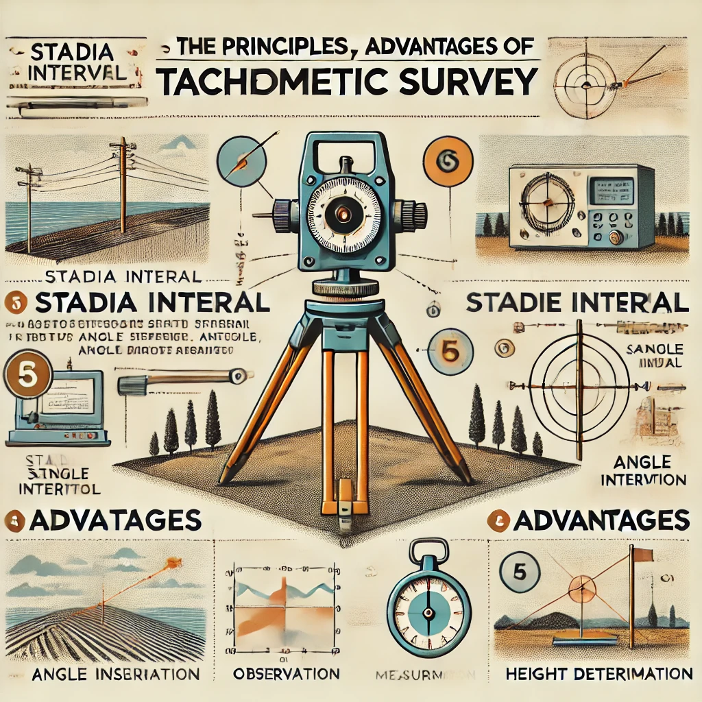
Tacheometric survey is defined as a method of angular survey in which tachometer is used to determine the horizontal and vertical distances between two points. Thus, the tedious process of chain survey for measuring horizontal distances is eliminated.
Tacheometric survey is preferred over chain or tape survey. It is faster and more convenient, especially in difficult terrains like broken ground, deep trenches, marshy terrain, stretches of water bodies etc. The accuracy of this survey technique ranges from 1/1000 to 1/10000.

Principle of Tacheometric Survey
The principle of tacheometric survey is based on the property of an isosceles triangle i.e. the ratio of the distance from the base to the vertex and the length of the base always remains constant.
The formula for horizontal distance is determined as:
H= K*s* cos ² θ
Note: The additive constant is 0.00, and the multiplicative constant is 100.00.
The formula for vertical distance for the same tachometer is:
V= (K*s*sin2θ)/2 = Htanθ
Where,
The staff intercept (s) is calculated by subtracting the bottom reading from the top reading.
K= Multiplicative constant (usually taken as 100)
θ = Vertical angle at theodolite Thus, after calculating the vertical distance value, the reduced level of the instrument station (R.L.), the height of the instrument (H.I.), the central wire reading (R), and the R.L. of any point under observation are given. can be calculated as follows:
R.L of point = R.L of instrument station + H.I ± V-R
Procedure for tacheometer survey
1.Set the instrument above the designated station and level it properly with reference to the altitude level.
2.Set the vertical circle Vernier to the zero position. Then, keeping the altitude level in the middle of your run, use a measuring tape to accurately measure the altitude of the instrument (the vertical distance from the top of the peg to the center of the objective).
3.Alternatively, the altitude can be found by placing the stadia rod in front of the telescope and reading through the object-glass.
4.Orient the instrument by following the steps listed below:
The magnetic meridian or the true meridian may be used as the reference meridian.
When the reference meridian is the magnetic meridian, set one of the Vernier’s to zero and rotate the telescope about the vertical axis, loosening the bottom clamp until the compass needle points north.
The true direction of the reference point or the second station of the traverse must be known in order to orient the instrument with reference to the true meridian.
Set the vernier to read this direction, and then rotate the telescope about the outer axis until the station or reference object is bisected.
5. Record bearings, vertical angles, and stadia readings (top, bottom, and axial hairs) with the staff held steady on the benchmark. The line of sight can be either horizontal or inclined.
6. In the absence of a local benchmark, perform fly leveling from the closest available benchmark to set up a temporary B.M.
7. The bearings, vertical angles, and staff readings are used to find all representative locations (top, bottom, and axial hairs) under the instrument station’s command. “Side shot” is the phrase for these observations.
8. When all representative spots from the first station have been identified, take a look at the second station. Record the vertical angles and staff readings associated with the top, bottom, and axial hairs.
9. Change the instrument’s station to the second. As before, properly install, center, and level the instrument, then take its height measurement.
10. Look backward at the first station. Also, note the bearings, vertical angles, and staff readings at the top, bottom, and axial hairs.
11. Since each station is observed twice, two values are generated for station distance and height, which must be within legal limits; otherwise, the operation must be repeated.
Methods of Tacheometric Survey
The horizontal distance between instrument station “A” and staff station “B” is determined by the known distance at point “A” to point “B” and the vertical angle from point “B” to point “A”.
Tachometric survey is further classified into two methods:
1. Stadia Method of Tacheometry
The stadia technique of tacheometry is a popular method adopted for calculation of horizontal distance and vertical height.
The horizontal distance between the staff station and instrument station and the height of the staff station along the line of sight of the instrument are calculated using this approach with only one observation from the instrument station.
This method of survey can be further classified into the following two types:
A. Fixed Hair Method
The instrument used for making observations in this form of survey is a telescope having two additional cross-hairs, one above and one below the centre hair.
Thus, stadia hairs are those that are equidistant from the center hair. When viewed through the instrument’s telescope, the stadia hairs appear to stop a specific length of the staff. This is the most commonly used tachometric surveying approach.
B. Movable Hair Method
Unlike the stadia hair technique, the movable hair method involves movable cross-hairs in the telescope attached to the device. The center hair can also be used to adjust the movable cross-hair. In this way the stadia interval can be adapted to different staff positions. The horizontal distance is then calculated. Unlike the stadia hair technique, the movable hair method involves movable cross-hairs in the telescope attached to the device. The center hair can also be used to adjust the movable cross-hair. In this way the stadia interval can be adapted to different staff positions. The horizontal distance is then calculated.
2. Tangent method of tachoemetric survey
Tacheometric survey requires two observations between the staff station and the instrument station. In this way the difference between the collimation line and the distance between the staff station and the ground is calculated. The most important advantage of this process is that it can be combined with a standard transit theodolite. Because of the extremely slow speed of work, this approach is used in comparison with the stadia system.
Errors and Precautions in Tachoemetric Survey
The common errors occurring in tacheometric survey are due to the following reasons.
1. Instrumental errors: Instrumental errors may occur as a result of faulty permanent modifications in the instrument or incorrect graduations on the stadia rod.
2. Manipulation and sight errors: Inaccuracies due to manipulation and sight are determined by the skill and expertise of the surveyor. These are the result of faulty instrument centering and leveling as well as incorrect stadia readings.
3. Natural causes: Natural sources of inaccuracies include wind, anomalous expansion of instrument components, visibility, and anomalous refraction. The last of these is the most important.
Advantages of Tacheometric Survey Following are some of the advantages of tachometric survey:
The speed of this type of survey is very fast. Tape and chain are not used in this process. As a result, it takes less time. It is a low-cost method of conducting survey. The accuracy of this approach is also good enough for compilation of topographic maps, hydrological surveys and cross-checking of measurements from other methods.
Frequently Asked Questions
What is tachometric survey?
Tacheometric survey is defined as a method of angular survey in which tachometer is used to determine the horizontal and vertical distance between two points. Thus, the tedious process of chain survey for measuring horizontal distance is eliminated.
What is the principle of tacheometric survey?
The principle of tachometric survey is based on the property of isosceles triangle, i.e. the ratio of the distance from the vertex to the base and the length of the base is always constant.
What are the common errors in tacheometric survey?
The commonly occurring errors in tacheometric survey are due to the following reasons.
1. Instrumental errors 2. Manipulation and vision error 3. Natural causes
What are the advantages of tacheometric survey?
The following are some of the advantages of tachometric survey:
1. The speed at which such a survey is carried out is very fast.
2. Measurements can be taken with either a level or inclined optical axis.
3. It is a low-cost method of conducting surveys.
4. The accuracy of this approach is also good enough for compilation of topographic maps, hydrological surveys and cross-checking of measurements from other methods.